Serving all of Northern Ireland
Northern Ireland drone surveys that see what ladders cannot
Roof problems rarely announce themselves from the ground. A drone survey puts a camera at roofline level, covers every angle in a single visit, and hands you a written report so you know what needs doing and what can wait.
Our drone survey services
Each survey moves through three stages: plan the flight route around the building layout and the day's conditions, fly the drone to capture the roof, roofline and associated structures from all accessible angles, then deliver a written report describing what the imagery shows, with the photographs and video attached.
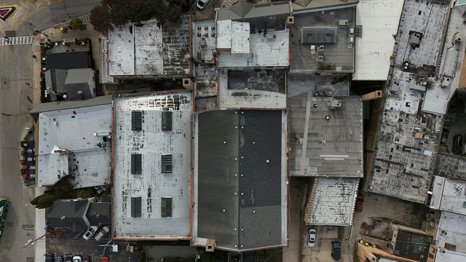
Pre-purchase Drone Surveys
Aerial roof checks before you buy, anywhere in Northern Ireland.
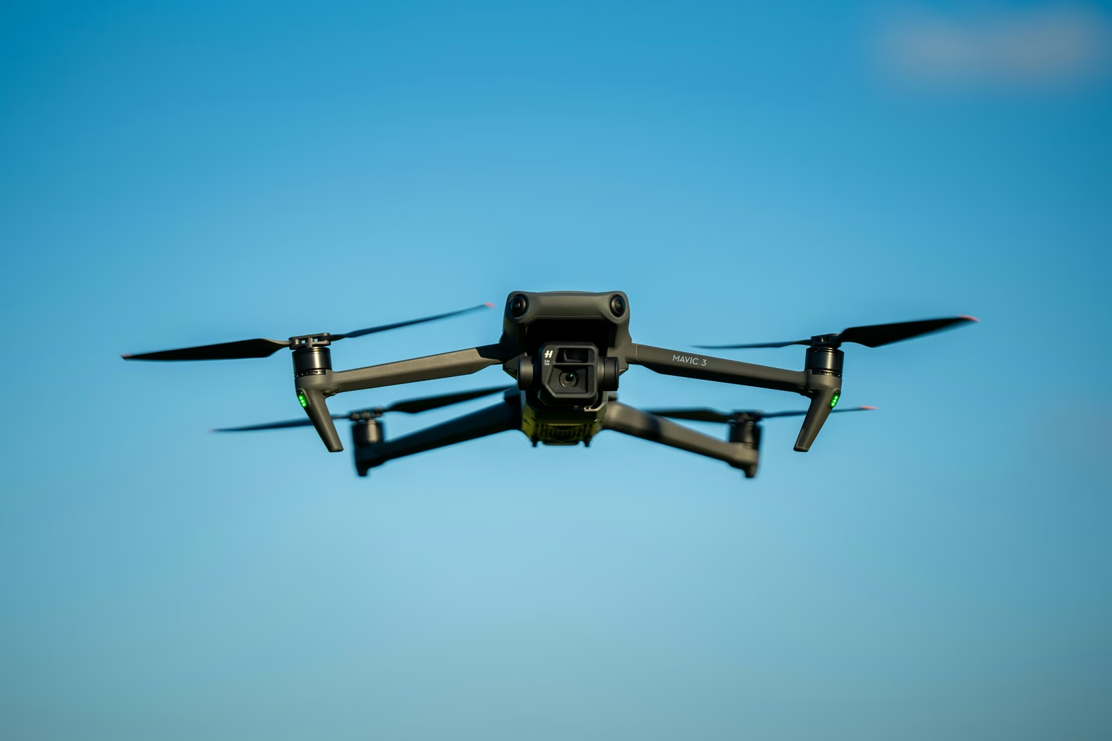
Roof Condition Assessments
Roof condition assessments across Northern Ireland.
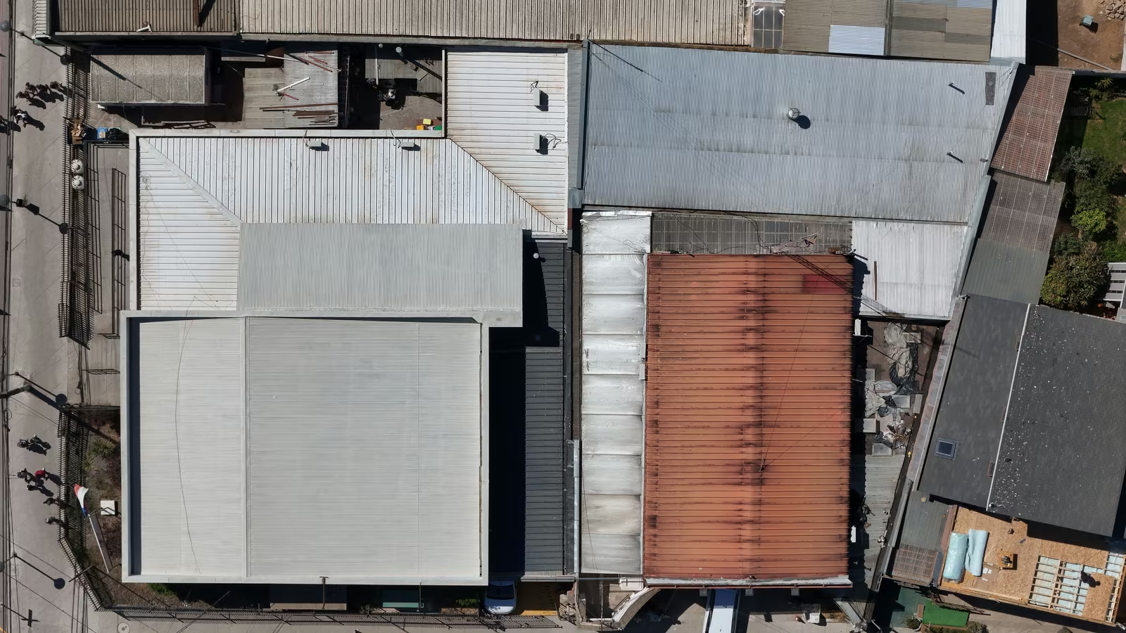
Roof Drone Surveys
Aerial roof surveys across Northern Ireland, no scaffolding needed.
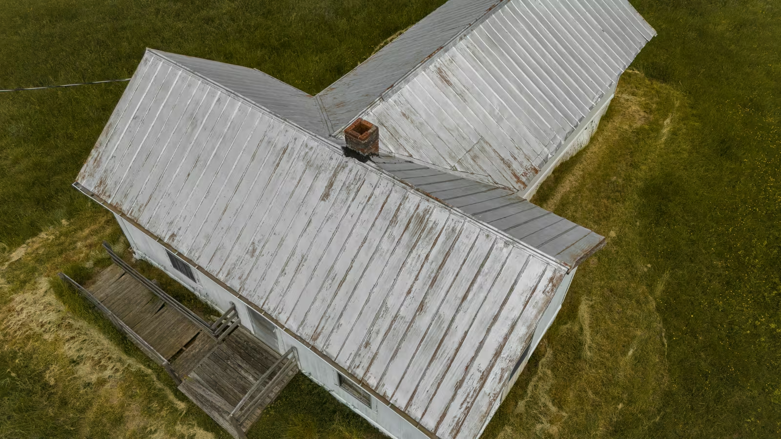
Storm Damage Drone Surveys
Post-storm roof surveys with imagery insurers and builders accept.
Getting a view that standing at the kerbside never gives you
A drone survey sends a camera-equipped aircraft, flown by a licensed pilot, up to the parts of a building that a ladder or scaffold would otherwise be needed to reach. The pilot records the roof covering, chimneys, flashings, gutters and roofline from multiple angles in a single visit. That footage and those photographs become the basis of a written report: what was inspected, what the imagery showed and where attention is needed. Because nothing makes contact with the building, the process is quick and avoids scaffolding costs entirely. Defects that are invisible from street level, a slipped slate, a cracked flashing, a sagging gutter run hidden behind a parapet wall, appear clearly in the imagery.
From first message to aerial images
- 1
Enquiry and scoping
You describe the property and what prompted the request. A specialist confirms that a drone survey is the right tool and what the flight costs.
- 2
Flight planning
The pilot checks airspace, weather windows and access around the property, and agrees a survey time with you.
- 3
The survey flight
The roof, roofline, chimneys and gutters are photographed and filmed from every angle in a single visit, usually over within a couple of hours.
Book your aerial survey
Send the address and what you want seen from above. A local specialist will confirm the details, fly the site and send you the findings.

Situations where getting the roof on camera makes sense
These are the circumstances where a drone survey cuts straight to a usable answer.
Roof signs worth a survey
- A surveyor acting for a buyer, seller or lender has recommended a closer look at the roof
- A storm has moved through and you want to know what it did to tiles, slates, flashings or gutters before calling a builder
- You are buying a property and want the roof condition recorded before the purchase completes
- A leak has appeared inside and the source is not visible from the ground or from within the loft
- Chimneys, flat roof sections or solar panel fixings need checking without the cost of erecting scaffolding
Why roofs hide problems in Northern Ireland
Most of the defects a drone survey records were caused by ordinary weathering and ordinary building work, not by anything the owner did wrong. The common ones found across Northern Ireland:
- Years of rain, frost and wind working at pointing, ridge tiles and lead flashings until the seal breaks
- Storm events that shift slates or tiles without leaving any sign that ground-level inspection would catch
- Blocked gutters and valley channels holding standing water, quietly damaging the roofline timbers behind them
- Earlier patch repairs that did not quite match the original roof specification, leaving weak points at the edges of the fix
- Chimney stonework and mortar joints receding above the gutter line, out of sight until water gets in
Towns and areas covered in Northern Ireland
Pick your town below to see coverage details for drone survey work in that area of Northern Ireland.